ふむふむ なるほど そういうことか 梅雨前線って何 !?

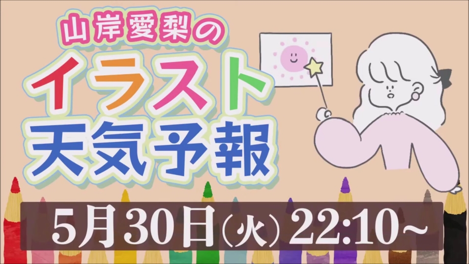
先月の 30日の話ですが、weathernewsLiVE の Moon の時間帯に初の試みとして、普段はこの番組でキャスターとして活動されている山岸愛梨様が気象予報士として気象解説をする、山岸愛梨のイラスト天気予報というのがありました。
すでに日本では梅雨入りしている地域も多いですが、梅雨といえば梅雨前線ですが、私も梅雨前線とか梅雨というのは何となく知っていますが、ふと思えば何となく知っているものの、あまり詳しくは知らないな…と思うと、今回のこの放送は勉強になえいました。
ちなみにその部分を編集した動画を下に貼っておきます。
上の動画、すでに視聴できなくなっている場合はご容赦ください。
梅雨前線というのは南側に居る ( 表現が合っているかどうか不安です ) 太平洋高気圧と北側に居るオホーツク海高気圧が居て、お互いがそれぞれ暖かくて湿った空気と、冷たくて湿った空気を持っているのですが、その高気圧の境目に停滞前線ができるそうで、その停滞前線がいわゆる梅雨前線と呼ばれるもので、長く居座る前線になるのですね。
前線に向かって湿った空気が流れ込んで、結果雨が降るというのがこの梅雨の時期の長雨の原因なのだそうです。ちょっと説明が違うところがあったら申し訳ありません。興味のある方は上に貼っている動画がまだ見られる状態でしたら動画を視聴してください。
梅雨って長い期間雨の降る日が多かったり、雨の降る時間が長かったりするのはその通りなのですが、しとしと降るという表現でしょうか? なんだか小粒の雨というのでしょうか? そんなに激しくない雨で、雨が降っている日は比較的涼しいということを聞いたことはあるのですが、雨が降っていても蒸し暑いし、けっこう激しい雨が降っているという印象だったのですが、これは東日本と西日本で実際に梅雨の時の雨の降り方などは違うそうです。
東日本と西日本をこの辺りと明確に地域で分ける境目はないのですが、要するに梅雨前線を境にして東と西に分かれるので、日によって境目が動くということでしょうが、東日本の方は、オホーツク海高気圧の冷たくて湿った空気が流れ込むので、気温が冷たくて気温が低い分水蒸気の蒸発も少なめなので、雨もそこまで激しくならない傾向で、西日本は太平洋高気圧の暖かくて湿った空気が流れ込むので、雨も激しく降り気温も高くなる傾向にあるそうです。
雨がしとしと降るというのは関東を含めて東の方に住む方々の感想なのですね。私が梅雨のときも暑いし雨も大雨が降るという印象を持っていたのは、関西地域、西に住んでいつからなのですね。なんかそれが解ったのも、この動画を見て良かったと思えました。
番組編成なども大変でしょうが、ふるゆわな感じのこの企画、月に 1回ぐらいやってほしいですね。月に 1回が難しいなら季節ごと、春夏秋冬で年に 4回でもやってほしい企画ですね。次にやるとしたら何でしょうね? 秋になったら何か違うことになるでしょうが、個人的にはゲリラ豪雨って表現は嫌いなのですが、暑い日の大雨とか予報が難しいと言われる分野みたいですが、兆候などわかることがあれば教えてほしいですが、これはイラスト天気予報のゆるふわでやる話でも無いか。
この企画、良かったと思います。
Note:
Including this green text, the following text is a translation of the Japanese article above, done by Using an Internet translation service. There may be parts that have a different meaning in the translation. I apologize for any such instances.
I see, I understand. What is this “baiu-zensen” (plum rain front)?
Last month, on the 30th, there was a first attempt during the Moon segment of weathernewsLiVE. As a usual caster on the program, Ms. Airi Yamagishi took on the role of a weather forecaster and provided weather commentary through an illustrated weather forecast called “Airi Yamagishi’s Illustration Weather Forecast.”
Many regions in Japan have already entered the rainy season, known as “tsuyu” in Japanese. Speaking of the rainy season, we often hear about the “tsuyu front.” While I have a general understanding of the term “tsuyu front” and the rainy season, I realized that I don’t know much about it in detail. This broadcast has been informative and educational for me.
By the way, I will paste the edited video below for that part.
If the above video is no longer available for viewing, please accept my apologies.
The “Baiu Front” refers to the Pacific High and the Okhotsk Sea High located on the south and north sides, respectively (I’m unsure if the expression is correct). They each have warm and humid air and cold and humid air, and a stationary front forms at the boundary of these high-pressure systems. This stationary front is commonly known as the Baiu Front, and it tends to linger for a long period.
During the rainy season, humid air flows towards the front, resulting in rainfall. That is said to be the cause of prolonged rainfall during the rainy season. I apologize if there were any discrepancies in the explanation. If the video I posted above is still available, please watch it if you are interested.
The rainy season is indeed characterized by a long period of frequent rainfall and prolonged rainy hours. It can be described as a drizzle or a light rain. Although the rain is not particularly heavy, it is often associated with a relatively cool temperature. However, it is important to note that the actual rainfall patterns during the rainy season differ between Eastern and Western Japan. While some regions may experience humid and intense rainfall, others may have a different perception or experience of the rainy season.
There is no clear boundary that distinctly separates Eastern and Western Japan in this area. In essence, they are divided by the demarcation of the rainy season front. The location of this front may shift from day to day. In Eastern Japan, the cold and humid air from the Okhotsk Sea High-pressure system flows in, resulting in lower temperatures and relatively less evaporation of water vapor. As a result, the rainfall tends to be less intense. On the other hand, in Western Japan, the warm and humid air from the Pacific High-pressure system flows in, leading to more intense rainfall and higher temperatures.
The description of drizzling rain seems to be the impression of those living in the eastern regions, including the Kanto area. On the other hand, my perception of the rainy season was that it was hot and there were heavy rainfalls, which aligns with living in the Kansai region and the western part. It’s great to have gained this understanding through watching the video.
I understand that program scheduling can be challenging, but I would love to see this kind of segment, with a relaxed and casual atmosphere, at least once a month. If once a month is difficult, then perhaps four times a year, corresponding to each season (spring, summer, autumn, winter). I wonder what they would do next? As we enter autumn, it could bring about different themes. Personally, I dislike the term “torrential rain,” but it seems to be a challenging area in weather forecasting, especially for heavy rain on hot days. If there are any signs or indicators that can be shared, I would appreciate learning about them. However, I suppose this topic may not be suitable for the lighthearted approach of an illustrated weather forecast.
I think this project was great.

この記事へのコメントはありません。